Ask the Earth
a question.
SatQuery is a vision-language instrument. Ask an observation in natural language; the system finds, interprets and returns the evidence from a real image pair.
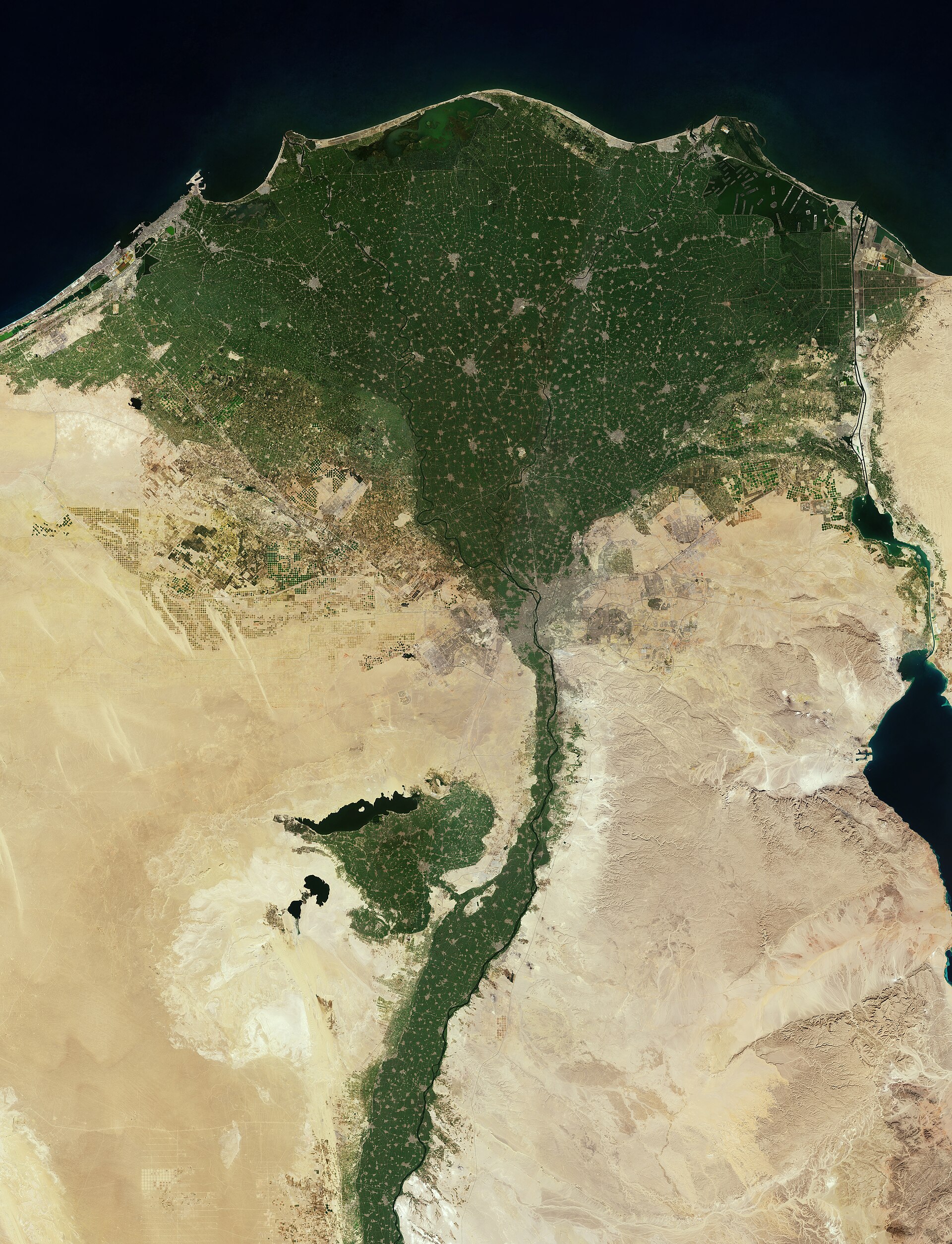
Source: ESA / Copernicus Sentinel-2, CC BY-SA 3.0 IGO. Illustrative plate — real imagery, not a SatQuery result.
A short film. From the orbit of an idea to the evidence in a real image. About fifty seconds. Muted by default; sound and chapters on the controls.
"What changed here?"
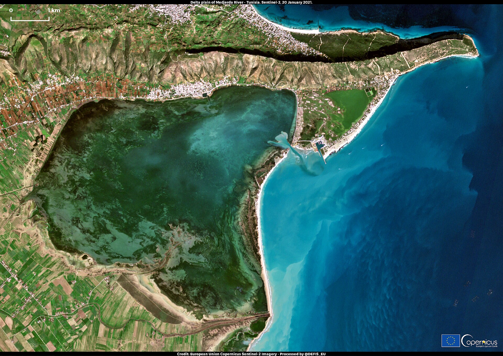
A question becomes a task, a routing decision, a sequence of specialists, and a single region of evidence. None of that is hidden — but none of it has to be in front of you, either.
Follow a question through the instrument →Source: ESA / Copernicus Sentinel-2, Medjerda delta, Tunisia (Attribution). Illustrative plate — shown for what a question is asked of. Not a SatQuery result.
Fifty years of one place,
in a moment of attention.
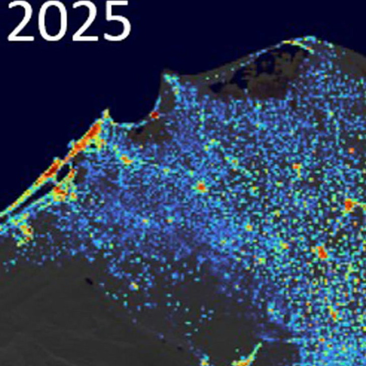
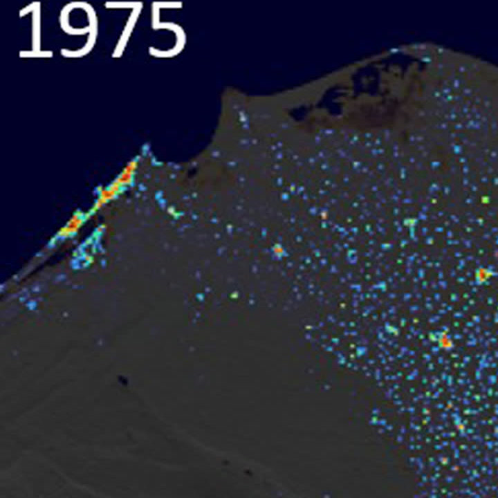
T0 · 1975built-up surface, GHSL T1 · 2025
Real epochs: GHSL built-up surface, Nile Delta, 1975 and 2025 (European Union, Copernicus Emergency Management Service — Attribution). Shown to illustrate the pair the instrument compares. The two panels are not co-registered and their scales differ, so the sweep is illustrative, not a measurement. No change result is presented here: nothing has been run.
Give the instrument two observations of the same place and it registers them, measures the residual, localises what differs, and returns the region with a score it can defend. What you see above is the pair — the finding is not on this page, because nothing has been run.
Every answer is a place on the Earth.
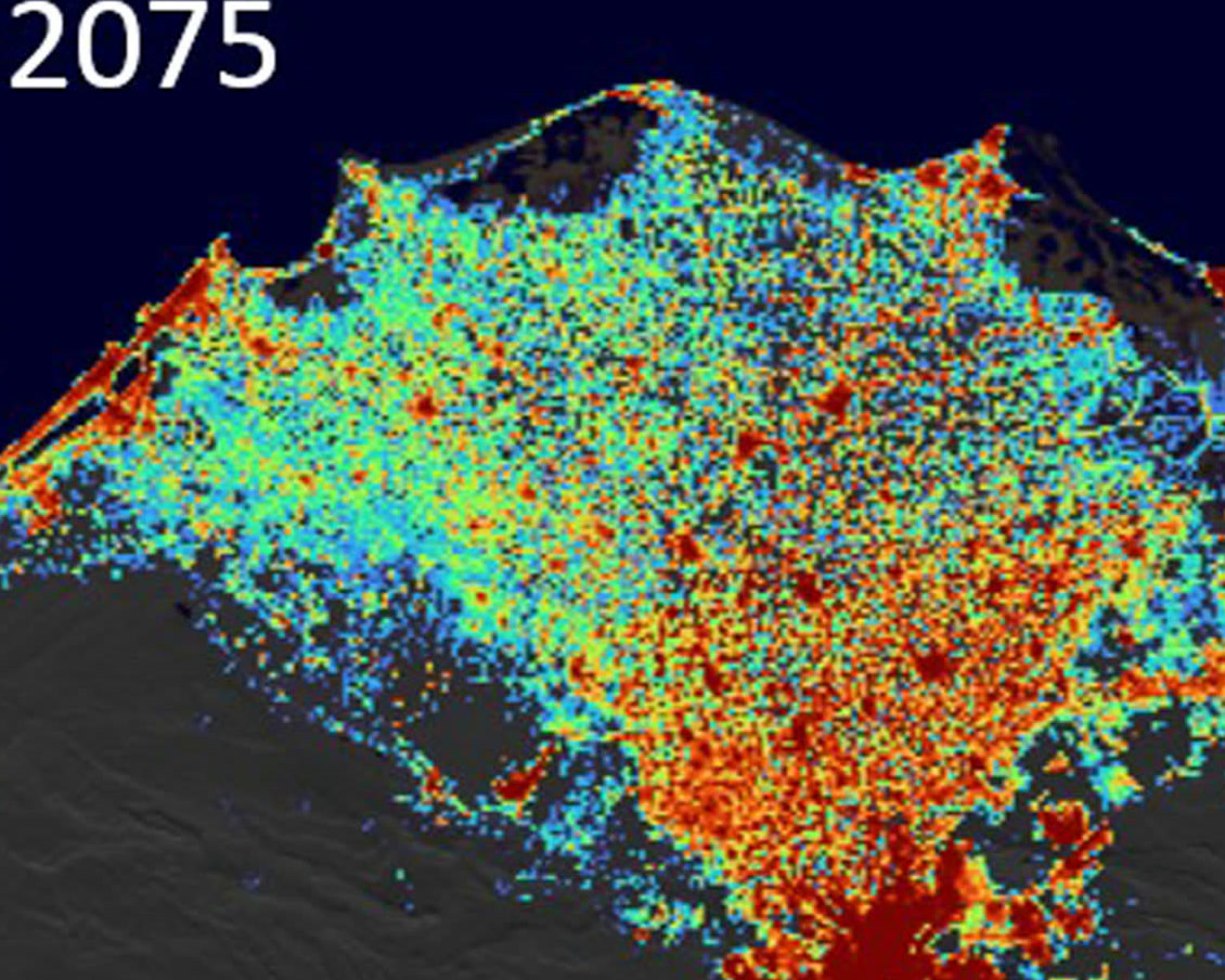
Evidenceillustrative region · 2075 projection, not observed GHSL / Copernicus — Attribution
Illustrative evidence region. It shows the shape of an answer, not an answer: SatQuery has not been run on this image and no region, confidence or area has been measured.
SatQuery returns a region, a confidence, a registration residual and a provenance record. The answer is the place on the image — not a paragraph about it.
How a question
becomes evidence.
The instrument has six layers: it sees, it locates, it compares, it grounds, it explains, and it writes a record. Every run passes through all six — but you do not have to read all six to trust the answer.
- 01 See Vision-language specialist Parse intent, entities, and temporal references. Produces a task.
- 02 Locate Grounding head A region of pixels that answers the question. Coordinates, area, and score.
- 03 Compare Change detector When two observations exist, the year between them is the dataset.
- 04 Understand Change-VQA What the change is. A short answer, in the language of the question.
- 05 Modality Optical & SAR The same scene, the same answer — optical in clear sky, radar through it.
- 06 Record Evidence layer A region, a confidence, a provenance — the things you can audit.
Benchmarks, ledger,
and the experiments
that did not work.
Protocol, split, leakage controls, metrics and evidence state for every experiment. Reproducibility is part of the result.
Verified Supported Blocked Not run Research ledgerQuestion, hypothesis, experiment, measurement, decision. Including the experiments that did not work.
Adopted Rejected Inconclusive Superseded
A small atlas of questions
the Earth can answer.
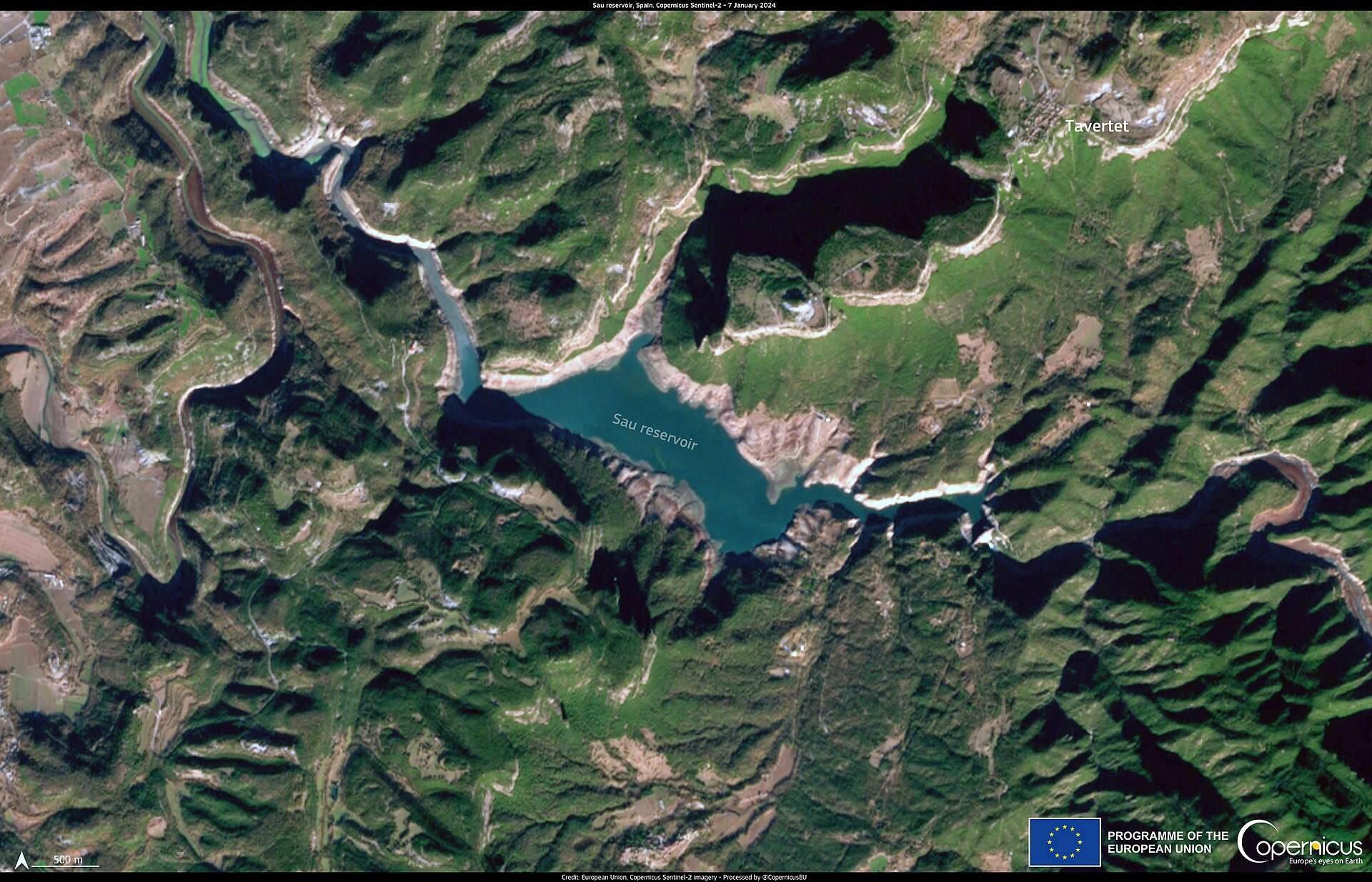
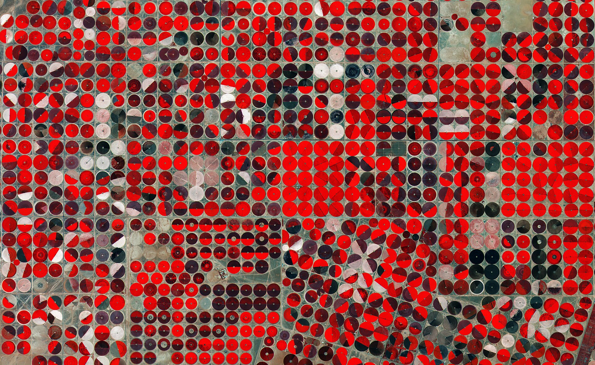
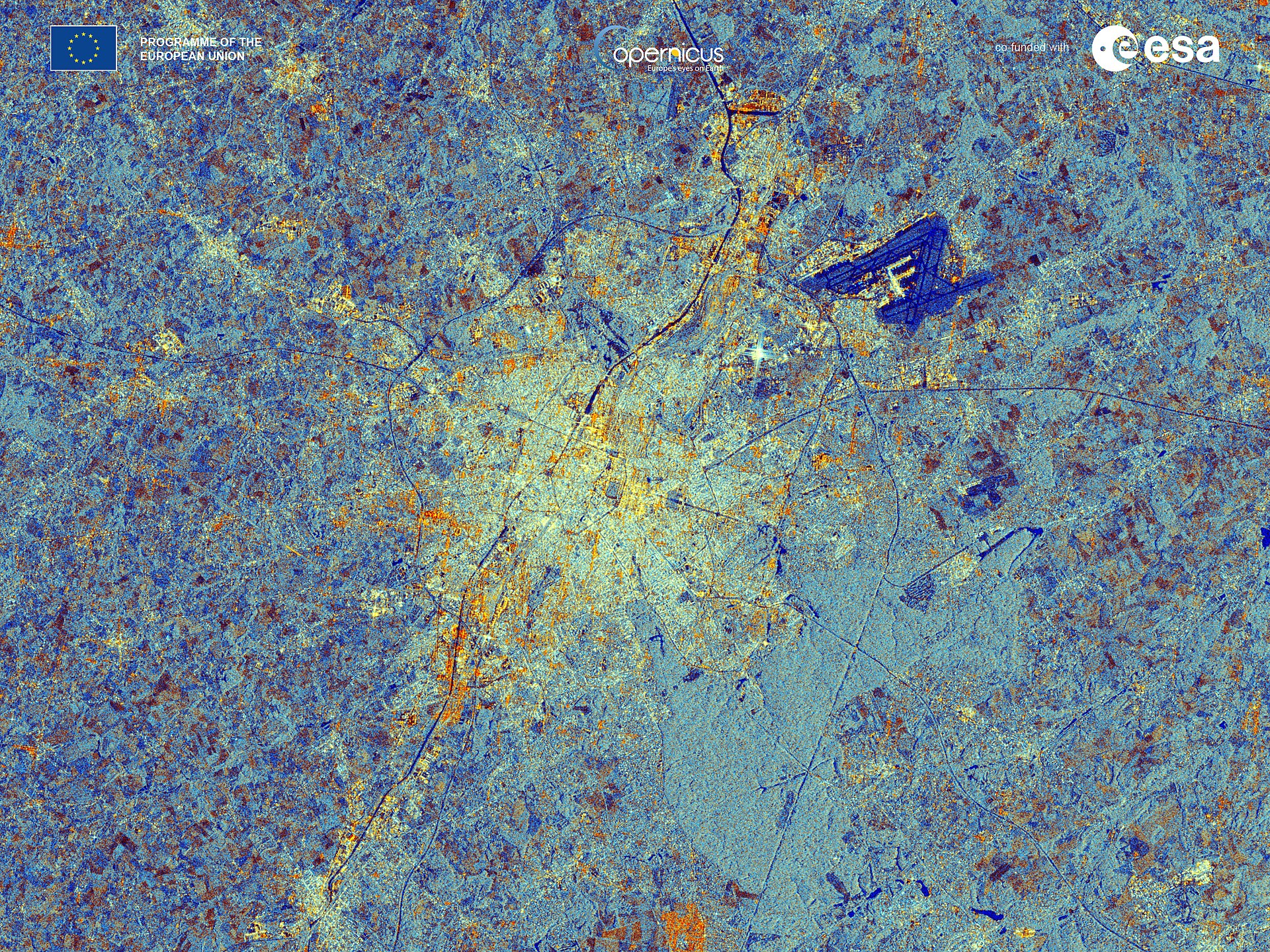
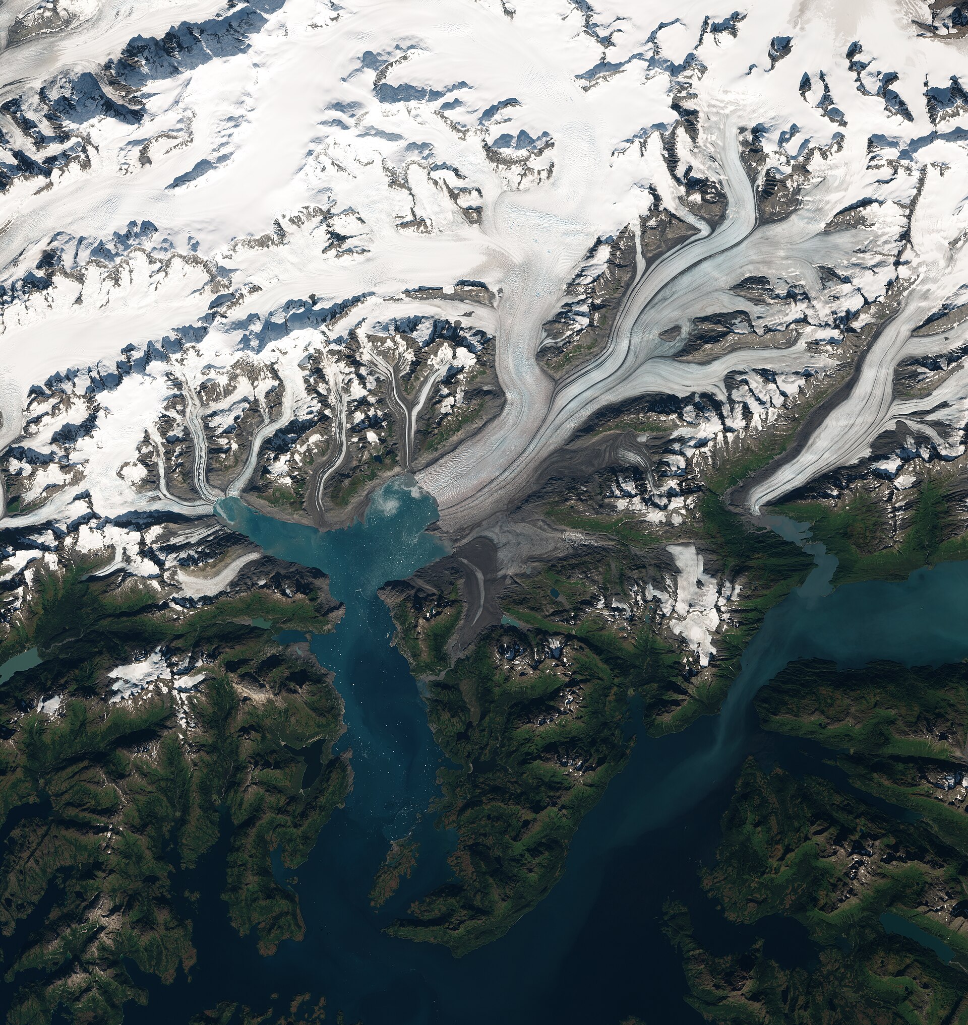
Illustrative — four Copernicus / ESA observations standing for four kinds of question. Not SatQuery results: no answer, region or score is shown for any of them.
Open the atlas →